Autonomy for places without roads.
FieldSim simulates and plans the path for autonomous vehicles in mining, agriculture, and forestry, so machines spend less energy and get more done in the field.
Need a drone survey? Book field services
Backed by national lab, university, and industry partners
- Technology license
- Field validation
- DOE BOOST program
- Montana tech hub
- Ag autonomy ecosystem
- Robotics partner
Plan it in simulation. Run it in the field.
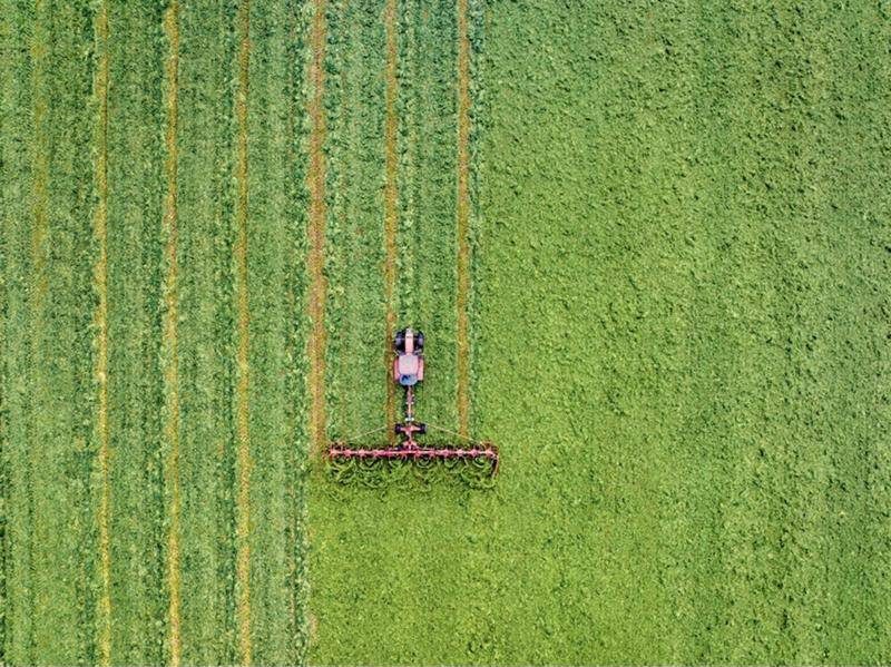
Every outdoor job has a best path. FieldSim finds it before the machine moves, then keeps learning from what the machine sees.
- 01
Model the worksite
The machine, the terrain, and the job, built on a simulation engine from a DOE national lab.
- 02
Score every route
We compare hundreds of path options on efficiency, energy, and ground impact, then return the best one.
- 03
Send it to the machine
Plans go out to sprayers, drones, and rovers. Drone maps feed back into the model.
We started by simulating farm routes for a national lab. The field showed us something bigger.
- 01
National lab simulation
FieldSim started in the DOE BOOST program with simulation technology licensed from Idaho National Laboratory.
- 02
Tested in the field
In summer 2026 we ran spray trials at Montana State University's Lutz Farm. Real machines showed us where manual guidance runs out.
- 03
Drones close the loop
We now fly drones to map the ground and tune our simulations with real data. The next step is machines that plan for themselves.
- 04
A rover, with Prism Labs
We're building a rover with Prism Labs. Its first jobs are mining inspection and ag scouting, with demonstrations in 2027.
- 05
The path planning platform
Prove it in the hardest places, then offer our path planning as an SDK to robotics companies, whoever builds the vehicle.
Built for rough ground.
Mining
Autonomous inspection, plus routing that accounts for energy use in hybrid-electric haul equipment. Fewer wasted cycles, less fuel, safer sites.
Agriculture
Crop scouting and guidance planning that cut overlap, compaction, and wasted inputs. Validated at MSU's Lutz Farm.
Forestry
Steep, unstructured terrain with no roads to follow, which is exactly where planning ahead pays off.
Coming next: ground-penetrating radar (GPR) surveys in the same environments.
Watch the demo.
Draw a field, set the machine, and see the plan come together. Then try it yourself.
Try the prototype →The people behind FieldSim.

Joe Entelisano
Co-founder and CEO
10+ years building software products, with a focus on logistics, operations, and tools that improve the lives of tradespeople.

Waku Ken-Opurum
Co-founder and CSO
PhD candidate researching and building solutions where technology, sustainability, and air quality meet.
Let's talk.
Pilots, partnerships, research, or investing. Tell us what you're working on.
Or email joe@fieldsim.ai